Volcanic Activity in Algeria
by Laurel Bowen - Week 5 Blog Post for Geology 9 with Ana Garcia Garcia

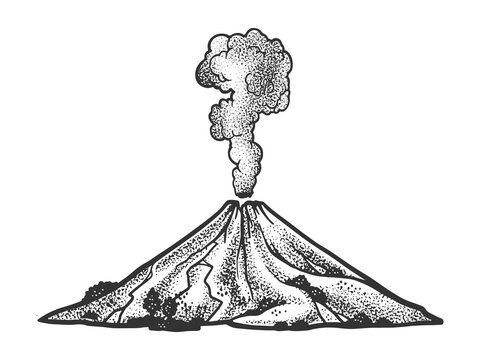
Volcanoes are natural formations on Earth's surface where molten rock, ash, and gases from beneath the Earth's crust are expelled. This happens through openings in the Earth called vents, allowing the release of built up pressure. The Earth's outer shell, the crust, is divided into many large and rigid plates that float on the semi-fluid layer of the mantle beneath them. Volcanoes occur at plate boundaries, where these plates interact. When it comes to preparing for a volcanic eruption, scientists and authorities follow a series of steps to monitor, forecast, and communicate potential volcanic activity. By analyzing data from monitoring instruments, scientists can make predictions about volcanic activity. Making these predictions is called forecasting. Changes in seismicity, gas emissions, ground deformation, and other indicators may suggest an upcoming eruption. To communicate the level of potential volcanic threat, authorities use a system of volcanic alert levels. Once a potential threat is identified, authorities communicate this information to the public through various channels and depending on the level of volcanic threat, authorities may develop evacuation plans for nearby communities.
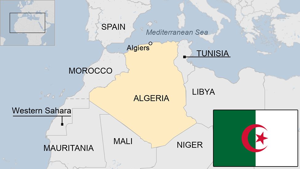
According to Think Hazard, Algeria's volcanic hazard risk is very low, but there are still volcanoes located in Algeria. Many of the volcanoes in Algeria are considered extinct or dormant, meaning they are not currently active. The Hoggar Mountains, also called the Ahaggar Mountains, are in the south of Algeria. In the past, this area had volcanoes, and you can see old volcanic structures and lava flows in the landscape. Tassili n'Ajjer, found in southeast Algeria, is a big flat area known for cool rocks and ancient rock art. Even though there are no active volcanoes there now, you can still find rocks from past volcanic activity in some places. The Tell Atlas is a group of mountains in the north of Algeria, running along the coast. While it doesn't have many volcanoes, this region has had movements in the Earth's crust and shaking events called earthquakes. The northern part of Algeria, especially along the Mediterranean coast, doesn't usually have volcanoes. Instead, it often has shaking from the Earth's plates moving around. The Smithsonian Institution National Museum of Natural History Global Volcanism Program's website states that there are three Holocene volcanoes, meaning volcanic structures or landforms that have formed during the geological time period that began around 11,700 years ago and continues to the present day. There are also three Pleistocene volcanoes, meaning having volcanic activity that occurred about 2.6 million to 11,700 years ago.
 |
| Hoggar Swell, Algeria |
Works Cited
“Global Volcanism Program: Algeria Volcanoes.” Smithsonian Institution | Global Volcanism Program, volcano.si.edu/volcanolist_countries.cfm?country=Algeria#:~:text=Algeria%20has%203%20Holocene%20volcanoes. Accessed 24 Feb. 2024.
“Natural Disasters (New Version Coming Soon).” Open Geography Education, www.opengeography.org/natural-disasters-new-version-coming-soon.html. Accessed 23 Feb. 2024.
Think Hazard, thinkhazard.org/en/. Accessed 23 Feb. 2024.


Hi Laurel
ReplyDeleteThanks for your post on volcanoes in Alegeria. I enjoyed reading your description of how volcanoes are formed. My country Spain had a couple Holocene volcanoes too. Good facts on the difference between a Holocene and Pleistocene volcanoes.